

We used AI and satellite imagery to map ocean activities that take place out of sight, including fishing, shipping and energy development
- Written by Jennifer Raynor, Assistant Professor of Natural Resource Economics, University of Wisconsin-Madison
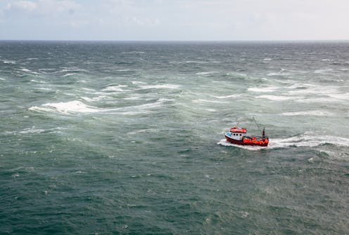 Many commercial fishing boats do not report their positions at sea or are not required to do so.Alex Walker via Getty Images
Humans are racing to harness the ocean’s vast potential to power global economic growth. Worldwide, ocean-based industries such as fishing, shipping and energy production generate at least US$1.5 trillion in economic...