

SpaceX is poised to go public and test the latest version of its massive Starship rocket amidst criticism about its environmental impact
- Written by Scott Solomon, Teaching Professor of BioSciences, Rice University
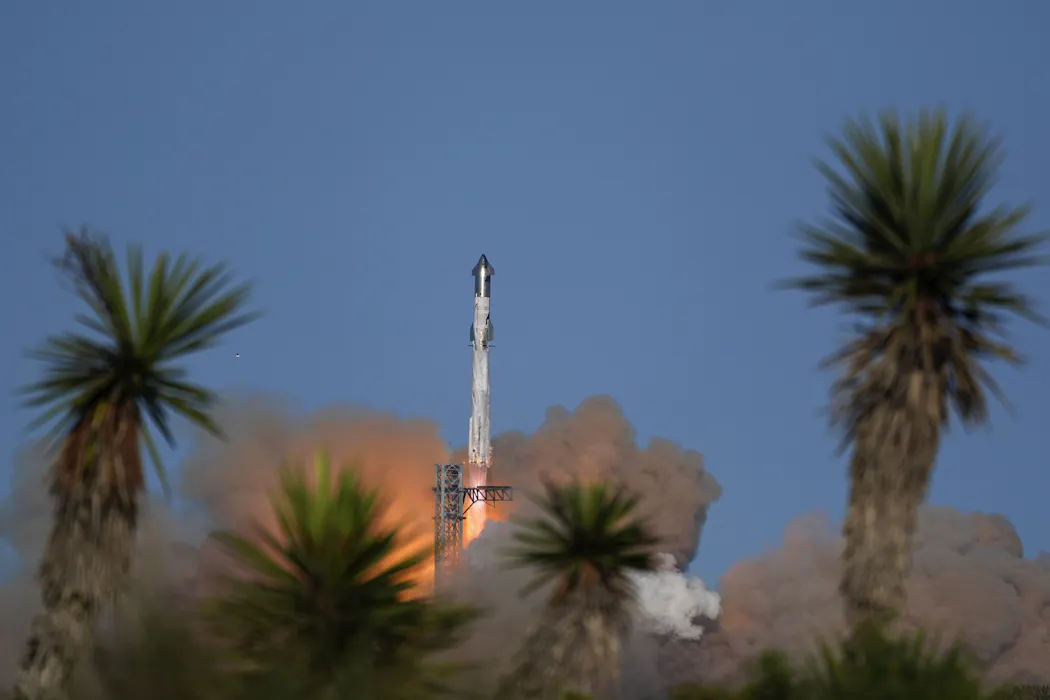 An earlier version of SpaceX's Starship rocket launched from the Starbase facility in Boca Chica, Texas during a test in November 2024. AP Photo/Eric Gay
SpaceX is proceeding with two major milestones with consequences that could be, at a minimum, global. The company, owned by Elon Musk and valued at upwards of US$1.5 trillion, released its...