

From flammable neighborhoods to moral hazards, fire insurance maps capture early US cities and the landscape of discrimination
- Written by Jack Swab, Assistant Professor Department of Geography & Sustainability, University of Tennessee
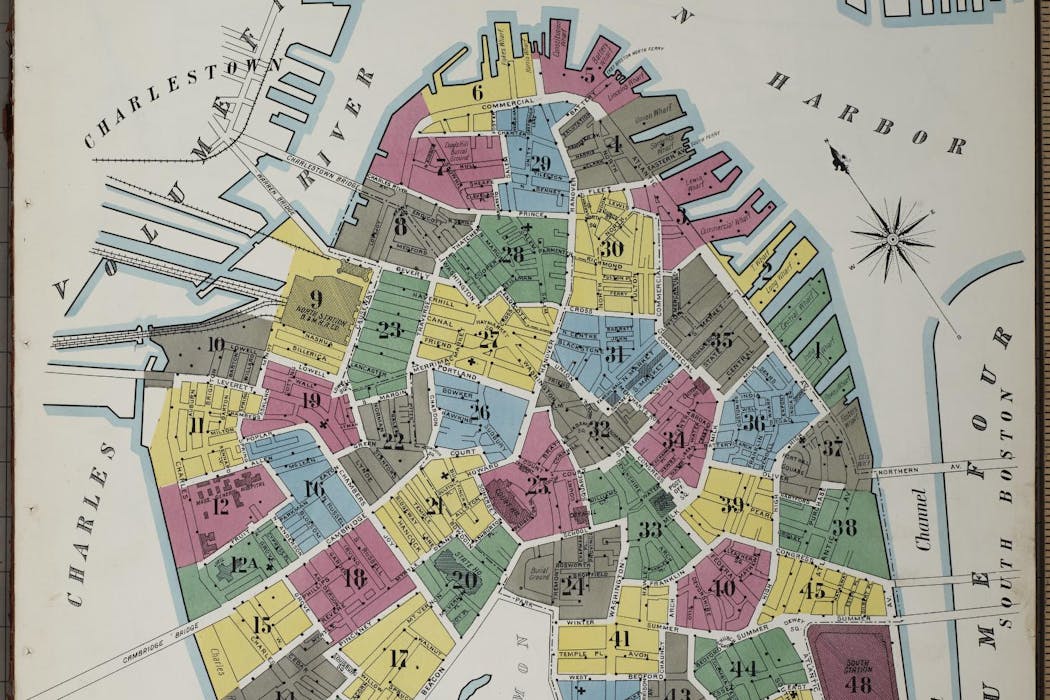 1909 Sanborn map of Suffolk County in Boston, Mass.Library of Congress
Imagine a map that allows you to see what your neighborhood looked like a century ago in immense detail. What you’re thinking of is probably very much like the fire insurance maps produced from the 1860s to the 1970s for insurance companies to identify potential fire risks....