

The war in Iran – again – points to the strategic shortcomings of assassination as policy of foreign affairs
- Written by Brian O'Neill, Professor of Practice, International Affairs, Georgia Institute of Technology
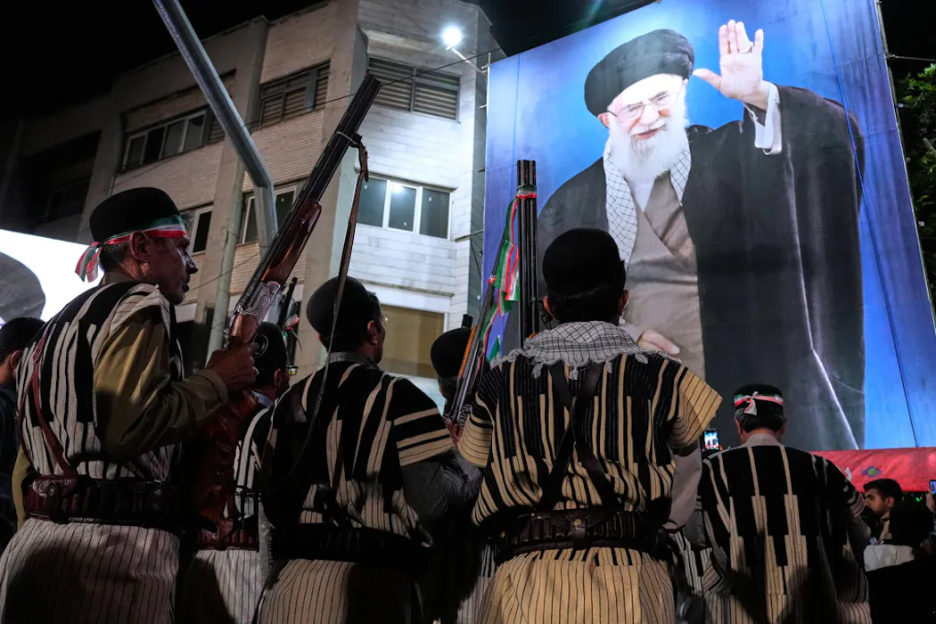 Iranians hold their guns during a pro-government gathering near the residence where former Iranian Supreme Leader Ayatollah Ali Khamenei was killed.
AP Photo/Vahid Salemi
Iranians hold their guns during a pro-government gathering near the residence where former Iranian Supreme Leader Ayatollah Ali Khamenei was killed.
AP Photo/Vahid SalemiThe coordinated U.S.-Israeli strikes at the outset of the war in Iran killed Supreme Leader Ali Khamenei, along with other key regime figures. In doing so, the United States and...